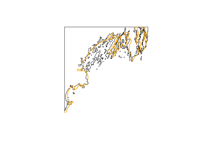
We often use Natural Earth to provide free and dependable shoreline respresentations. It’s a great data source and has a great R package to facilitate its usage. But is has (reasonable) limits in its resolution. Higher resolution data is available from GSHHG, which we make R-friendly with the gshhg R package.
The plot below compares the highest resolution of Natural Earth with the highest resolution of GSHHG for the Casco Bay (Maine) region.